[LMD in the field] MORECALVAL : EarthCare calibration and validation
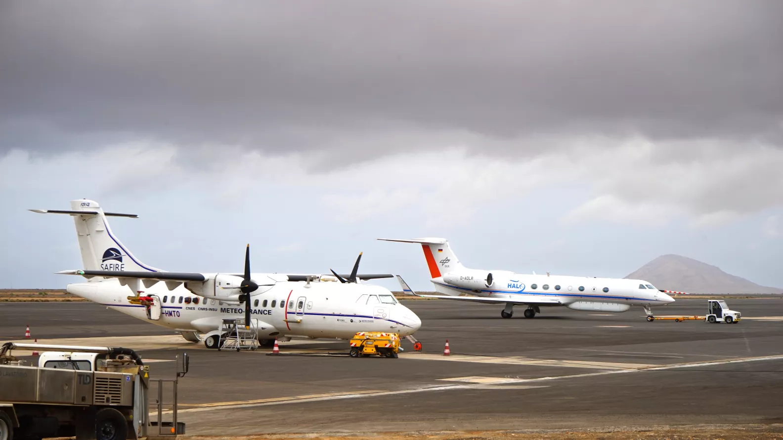
The MORECALVAL (MObile Radar-Lidar-Radiometer EarthCare CAL/VAL) campaign took place last March to help calibrate and validate the EarthCare satellite. To this end, the ATR42 aircraft from SAFIRE (Service des Avions Français Instrumenté pour la Recherche en Environnement) flew under the EarthCARE satellite track to measure in situ the properties of clouds, precipitation and aerosols. These measurements will be compared with measurements from the satellite’s radar (CPR) and lidar (ATLID) instruments and their synergistic products.
The scientific objectives of this campaign were also to understand the mesoscale organisation of convection and to study its sensitivity to environmental conditions, as a counterpart to the MAESTRO (Mesoscale organisation of tropical convection) campaign for mid-latitudes.
MORECALVAL is a campaign funded by the ESA (European Space Agency) and the CNES (Centre National d’Études Spatiales) in collaboration with various laboratories: the LMD, the LATMOS and the LSCE, all members of the IPSL, and the LaMP in Clermont Ferrand.